















AI CAD software for civil engineering

Turn reality capture into complete deliverables faster

Mach9 automatically drafts features from raw scans with centimeter-level accuracy at infrastructure scale. Your team fine-tunes and delivers.

Book a demo

Trusted by

OlssonHorrocksFibersmithHNTBMichael Baker InternationalWoolpertUS Department of EnergyEagle Engineering and ConsultingMaryland Department of TransportationWSDOTLanganTrueNet CommunicationsPennoniDavid Evans and AssociatesWSPMaine Turnpike AuthorityMcElhanneyJMTGPIMcKim & CreedFeldman GeospatialWSBBennett + BennettNV5

100,000+

Miles surveyed

10x

Faster extraction per technician

2,500+

Projects delivered

Chart of time spent collecting and processing a dataset: 223 days with conventional surveying, 59 days with reality capture and manual drafting, 6 days with Mach9.

Conventional surveying is only as fast as you can hire

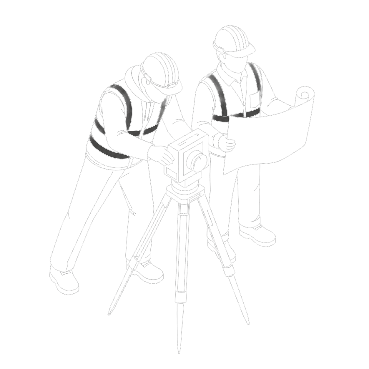
A crew measures the site one point at a time, and everything has to be right before they leave. Miss a feature, and someone drives back out to get it.
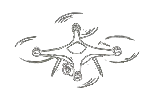
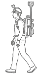
Reality capture moved the bottleneck to the office

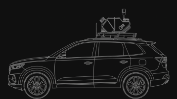
A mapping vehicle can scan a corridor in a day. Turning those scans into deliverables can still consume months of technician time and limits how much work a team can take on.

Mach9’s AI turns months of work into days

Mach9 drafts features from your raw scans at centimeter-level accuracy and flags what needs a second look. Your team spot-checks and finishes, letting them take on more, from a single site to an entire infrastructure network.

Automatically draft features from raw scans at centimeter-level accuracy and infrastructure scale

Step 1

Upload your scans to Mach9’s web-based CAD software. System agnostic by design. Import mobile, terrestrial, and drone reality capture data from the hardware you already use: Leica, Phoenix, RIEGL, Trimble, NavVis, and more.

Step 2

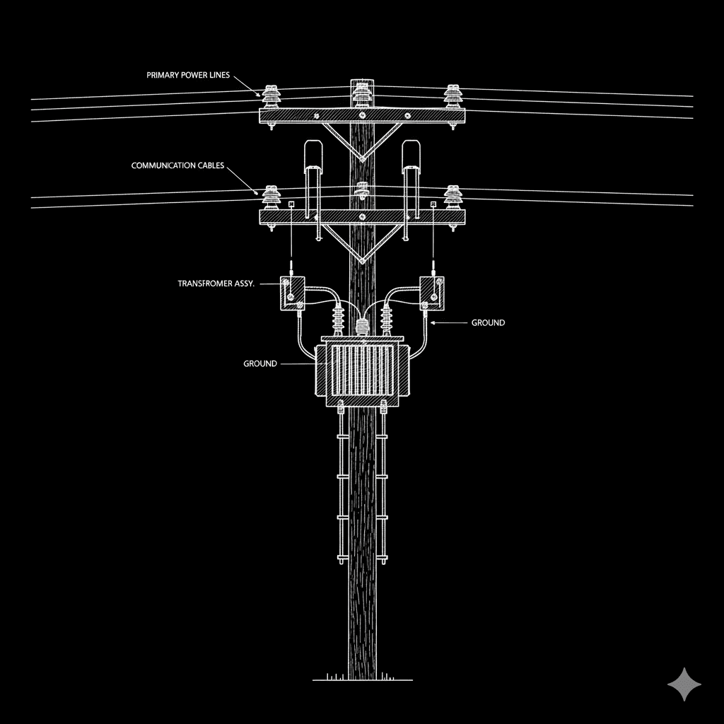
Our AI analyzes it and creates a first draft of features. Mach9 reads your point cloud and auto-detects the features you need: breaklines, curbs, striping, poles, signs, wires, and more.

Step 3

You fine-tune with Mach9's CAD tools. You accept a line, nudge a vertex, or draw manually where judgment matters. Built-in QC flags what needs review, so you can validate miles of extraction with confidence.

Step 4

Deliver: Export as DXF, DGN, Esri Feature Services, Geodatabase, JSON, Shapefile or field-to-finish survey formats. Deliverables that drop into your CAD and GIS workflows.

Raw colorized point cloud of a road intersection with trees and buildings, shown on an isometric sheet
The same intersection reduced to AI-drafted CAD linework: lane lines, curbs, and striping with the point cloud hidden
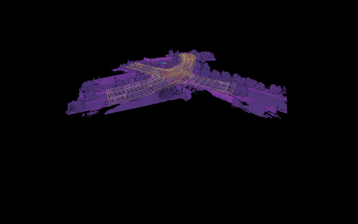
The intersection point cloud in a purple review palette with extracted breaklines and surface grid highlighted for QC
Finished CAD plan sheet of the intersection with a title block, ready to export

Built for the infrastructure work your team delivers

Raw point cloud of a signalized intersection
TIN surface, breaklines and linework extracted in Digital Surveyor

Turn corridor and site scans into design-ready linework and surfaces. QC tools let you control every deliverable.

See survey workflows →

Turn weeks of drafting into hours

Mach9 shaves weeks and weeks off extraction on our civil corridor projects. We can fly through vertices and line work in 3D — half our data is already done before we start verifying.”
Matthew Skibba
Director of Reality Capture, Feldman Geospatial

Step 1 of 3

Book a demo